
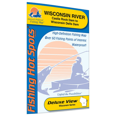
Wisconsin River-Castle Rock Dam to Wisconsin Dells Dam (Juneau/Adams Co) Fishing Map
One of the hottest spots for early season walleye. Quality smallmouth bass, white bass and catfish. Many scenic locations. This map covers approximately 2 miles of the Wisconsin river, but Fishing Hot Spots offers a series of maps of the Wisconsin River totaling nearly 33 miles! Featured Species: Walleye, Channel Catfish, Black Crappie, White Crappie, White Bass, Northern Pike, Smallmouth Bass, Largemouth Bass, Perch and Lake Sturgeon. Map Features: Lake Profile Fishery Information Fishing Tips and Techniques 7Accesses with Driving Directions 28Proven Fishing Areas Marked
- Product Number: FHS_WISCON_M375_
- Reference Product Number: M375
- ISBN: - None -
- Map format: Folded
- Map type: Trade Maps - Fishing
- Geographical region: United States
- Geographical subregion: Wisconsin


