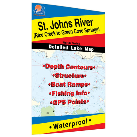
St. Johns River (Rice Creek to Green Cove Springs) Fishing Map
1 of a3 Map Set The St. Johns River flows from marshlands in east central Florida to the Atlantic Ocean. The river is more than 300 miles long and has no dams. Saltwater tides bring saltwater fish like redfish and speckled trout which co-exist and often feed on the same forage as largemouth black bass and other freshwater game fish. Featured Species: Largemouth Bass, Striped Bass, Black Crappie, Bluegill (Bream), Redear Sunfish (Shellcracker) and Catfish. Also some saltwater species: Red Drum (Redfish) and Speckled Trout (Spotted Weakfish, Seatrout) Map Features: Lake Profile Fishery Information Fishing Tips and Techniques GPS Information 8Accesses with Driving Directions 35Proven Fishing Areas Marked
- Product Number: FHS_ST_JOHN_L259_
- Reference Product Number: L259
- ISBN: - None -
- Folded Size: 9.06 inches high by 5.91 inches wide
- Unfolded (flat) Size: 24.02 inches high by 35.83 inches wide
- Map format: Folded
- Map type: Trade Maps - Fishing
- Geographical region: United States
- Geographical subregion: Florida


