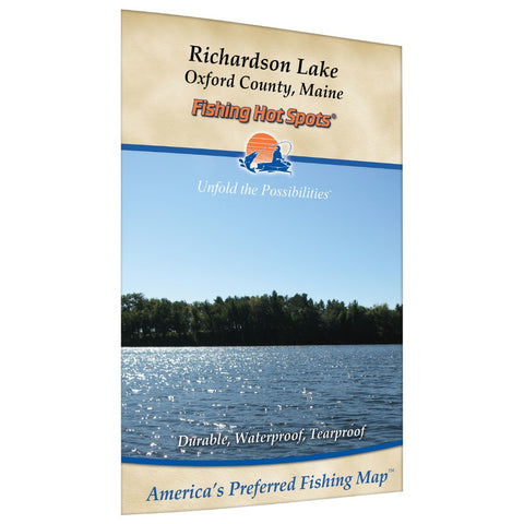
Richardson Lake fishing map
Richardson Lake consists of both Upper and Lower Richardson Lake. Together they total over 7,100 acres and much of the shoreline is undeveloped. Located in the scenic Rangeley Lakes Region of western Maine, Richardson Lake is a popular destination for many outdoor recreation enthusiasts. The big lake offers a variety outdoor activities including wilderness camping, boating, and fishing to name a few. Fabulous views of the western Maine mountains are everywhere. Public access sites are available at each end of the lake. Both provide concrete ramps, temporary docking, and ample parking. Featured Species: Largemouth Bass, Smallmouth Bass, Brown Trout, White Perch Map Features: Waterway Profile, Accesses, Fishery Information, Contour Lines
- Product Number: FHS_RICHARDSON_
- Reference Product Number: G428
- ISBN: - None -
- Folded Size: 9.06 inches high by 5.91 inches wide
- Unfolded (flat) Size: 11.42 inches high by 17.72 inches wide
- Map format: Folded
- Map type: Trade Maps - Fishing
- Geographical region: United States
- Geographical subregion: Maine


