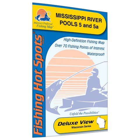
Mississippi River-Pool 5 5a Fishing Map
Pool 5 encompasses roughly 7,300 acres starting at Lock and Dam 4 and ending at Lock and Dam 5 at 14.7 miles long and roughly 661.0 feet above MSL (mean sea level. Since this is a river size and depths do change with water levels. Pool 5a encompasses 6,140 acres and starts at Lock and Dam 5 and ends at Lock and Dam 5a at 9.6 miles long and is roughly 651 feet above MSL (mean sea level). Featured Species: Largemouth Bass, Smallmouth Bass, Northern Pike, Walleye, Sauger, Black Crappie, Bluegill, Channel Catfish Map Features: Lake Profile Fishery Information Fishing Tips and Techniques Accesses with Driving Directions Over 70 Fishing Points of Interest
- Product Number: FHS_MISS_5_
- Reference Product Number: L730
- ISBN: - None -
- Folded Size: 9.06 inches high by 5.91 inches wide
- Unfolded (flat) Size: 23.62 inches high by 35.43 inches wide
- Map format: Folded
- Map type: Trade Maps - Fishing
- Geographical region: United States
- Geographical subregion: Minnesota


