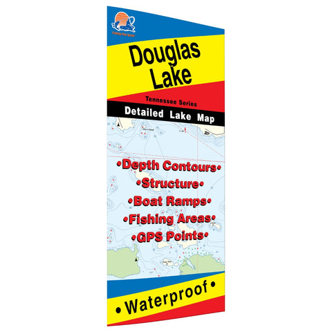
Douglas Lake Fishing Map
Douglas Lake was formed in 1943 as an impoundment of the French Broad River. The dam was commissioned at the start of World War II to help meet the nation’s expanded demand for electricity. Though it continues to generate hydroelectric power, the reservoir also provides valuable flood control and ample recreational opportunities, including one of the strongest fisheries in the region. Though boating access is available on the lake year-round, pool levels can drop up to 45 feet from summer to winter, rendering many boat ramps unusable and making much of the lake’s headwater difficult to navigate. Fertile, with a strong forage base, Douglas can support large numbers of gamefish. This productivity makes it a popular fishing destination and draws major tournaments each year. Crappie, largemouth and smallmouth bass, sauger and catfish are the top targets for anglers, though a variety of species are pursued. Additionally, there is a growing interest on Douglas in bowfishing for rough
- Product Number: FHS_DOUGLAS_
- Reference Product Number: A404
- ISBN: - None -
- Map format: Folded
- Map type: Trade Maps - Fishing
- Geographical region: United States
- Geographical subregion: Tennessee


