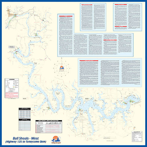
L172 - Bull Shoals-West (Hwy 125 to Taneycomo Dam - AR/MO) Fishing Wall Map
Bull Shoalssuperb fishery continues to be one of the most famous resources in the nation. Outstanding aesthetics, water clarity and outdoor recreation opportunities account for the popularity.
Featured Species: Largemouth Bass, White Crappie, Black Crappie, White Bass, Channel Catfish and other Catfish
Map Features: Lake Profile, Fishery Information, Fishing Tips and Techniques, GPS Information, 10 Accesses, 41 Proven Fishing Areas Marked
- Product Number: FHS_BULL_SHOAL_W_WA
- Reference Product Number: - None -
- ISBN: - None -
- Unfolded (flat) Size: 36 inches high by 36 inches wide
- Map format: Wall
- Map type: Trade Maps - Fishing
- Geographical region: United States
- Geographical subregion: Arkansas,Missouri


