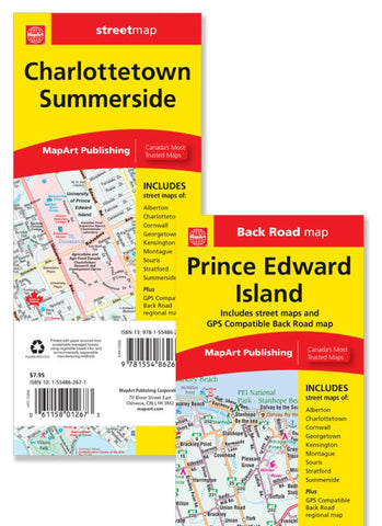
Prince Edward Island, Road Map
CCC folded maps have been the trusted standard for years, offering unbeatable accuracy and reliability at a great price. Detailed indices make for quick and easy location of destinations. Its a must-have for anyone travelling in Prince Edward Island. Includes detailed provincial map of Prince Edward Island. Detailed city maps of: Charlottetown, Summerside, Alberton, Cornwall, Kensington, Montague, Souris and Stratford.
- Product Number: CCC_PEI_24
- Reference Product Number: - None -
- ISBN: 9781554862672
- Date of Publication: 12/1/2023
- Folded Size: 9.25 inches high by 3.94 inches wide
- Unfolded (flat) Size: 39.37 inches high by 27.17 inches wide
- Map format: Folded
- Map type: Trade Maps - Road
- Geographical region: Canada
- Geographical subregion: Prince Edward Island

