Ottawa/Gatineau : eastern Ontario communities : street atlas
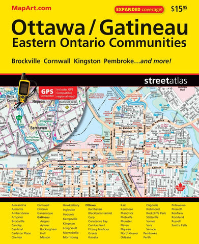
This GPS-compatible street atlas of Ottawa, Gatineau, eastern Ontario communities features detailed street index for various communities including: Alexandria, Almonte, Amherstview, Arnprior, Brockville, Cantley, Cardinal, Carleton Place, Chelsea, Cornwall, Embrun, Gananoque, Gatineau, Angers, Aylmer, Buckingham, Hull, Masson, Hawkesbury, Ingleside, Iroquois, Kemptville, Kingston, Long Sault, Montebello, Morrisburg, Ottawa, Barrhaven, Blackburn Hamlet, Carp, Constance Bay, Cumberland, Fitzroy Harbour, Greely, Kanata, Kars, Kenmore, Manotick, Metcalfe, Munster, Navan, Nepean, North Gower, Orléans, Osgoode, Richmond, Rockcliffe Park, Stittsville, Vanier, Vars, Vernon, Pembroke, Perth, Petawawa, Prescott, Renfrew, Rockland, Russell and Smiths Falls.
- Product Number: CCC_OTTAWA_AT_21
- Reference Product Number: - None -
- ISBN: 9781553683766
- Date of Publication: 1/1/2021
- Unfolded (flat) Size: 9.06 inches high by 11.02 inches wide
- Map format: - None -
- Map type: Atlases - Popular/Travel
- Geographical region: Canada
- Geographical subregion: Ontario,Quebec

