
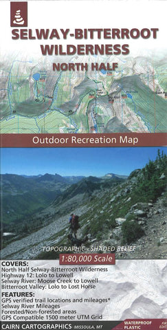
Selway Bitterroot Wilderness : North Half
Covers North Half of the Selway-Bitteroot Wilderness, Highway 12: Lolo to Lowell, Montana’s Bitterroot Valley: Lolo to Lost Horse, Selway River: Moose Creek to Lowell, and Bitterroot River: Wally Crawford Access to Lolo.
- Product Number: CAI_SELWAY_N_20
- Reference Product Number: - None -
- ISBN: 9780985640255
- Date of Publication: 6/1/2020
- Folded Size: 8 inches high by 4 inches wide
- Unfolded (flat) Size: 39 inches high by 25 inches wide
- Map format: Folded
- Map type: Trade Maps - Park
- Geographical region: United States
- Geographical subregion: Montana


