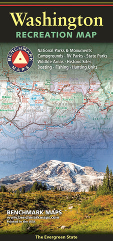
Washington Recreation Map, The Evergreen State
The Washington Recreation Map is a folded map version of the Recreation Guide pages within our Washington Road & Recreation Atlas. The map side features public lands, extensive highway detail, point-to-point mileages, recreation attractions, campgrounds, parks & wildlife areas, boating & fishing access points, and hunting units (GMU). The reverse side features statewide categorized POI listings with helpful descriptions, current contact information, and map grid references. ISBN: 9780783499680 Cover:4.25 x 9 Sheet: 38.25 x 27 Map Scale 1:650,000
- Product Number: BEN_WA_REC_24
- Reference Product Number: - None -
- ISBN: 9780783499680
- Date of Publication: 11/1/2023
- Folded Size: 9 inches high by 4.25 inches wide
- Unfolded (flat) Size: 27 inches high by 38.25 inches wide
- Map format: Folded
- Map type: Trade Maps - Outdoor Recreation Maps
- Geographical region: United States
- Geographical subregion: Washington


