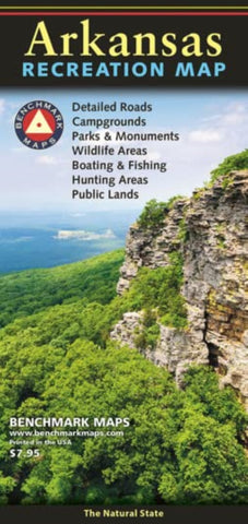
Arkansas Recreation Map
Our newest Recreation Map focuses on the Natural State. From the Ozarks & Ouachita Mountains to the densely forested Timberlands and the Delta Lowlands, Arkansas contains a wealth of diverse terrain, wildlife, and public recreation opportunities.
This map highlights Arkansas’s vast network of highways and byways. It features public land access, state parks, extensive road detail, point-to-point mileages, and a recreation guide with parks & wildlife areas, unique attractions, campgrounds, boating & fishing access points, and more.
- Product Number: BEN_AR_REC_22
- Reference Product Number: - None -
- ISBN: 9780783499277
- Date of Publication: 4/30/2022
- Folded Size: 9.06 inches high by 4.33 inches wide
- Unfolded (flat) Size: 27.17 inches high by 33.86 inches wide
- Map format: Folded
- Map type: Trade Maps - Outdoor Recreation Maps
- Geographical region: United States
- Geographical subregion: Arkansas


