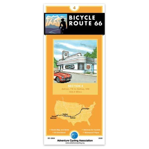
Route 66 Bicycle Map #4
Wide open space is the theme across west Texas and New Mexico with semiarid landscapes and generally long distances between services. Shoulder widths vary on I-40 and I-25 and contain rumble strips and road debris. Elevation will increase at Clines Corners and again east of Tijeras passing between the Manzano and Sandia Mountains. The route into Santa Fe roughly follows a pre-1937 alignment of Route 66 into the historic plaza. It is longer but has less interstate riding, fantastic views, and a more authentic Route 66 feel. Plan on traffic and the elevation increase again through the Sangre de Cristo Mountains into Santa Fe. The ride along the Turquoise Trail road between Santa Fe and Tijeras provides beautiful open vistas. Expect urban traffic and road conditions through Albuquerque except on the multi-use trail sections. West of Albuquerque the route goes through portions of Laguna and Acoma Pueblos. The route to Grants follows Historic Route 66. Bike shops are almost nonexistent on t
- Product Number: ADCY_BC_2604_20
- Reference Product Number: - None -
- ISBN: 9780986339738
- Date of Publication: 3/30/2016
- Folded Size: 8.25 inches high by 3.75 inches wide
- Unfolded (flat) Size: 24 inches high by 18 inches wide
- Map format: Folded
- Map type: Trade Maps - Bicycling
- Geographical region: United States
- Geographical subregion: New Mexico,Texas


