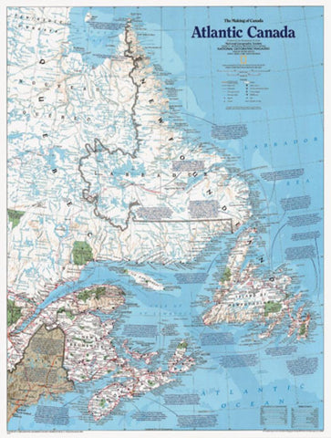
Atlantic Canada, The Making of, Tubed by National Geographic Maps
This double-sided map features fascinating facts and accounts of this regions rich history.
Insets cover topics including exploration and exploitation, the fight for control, and the development of business and tourism.
Major places covered: Labrador, New Brunswick, Newfoundland, Nova Scotia, and Prince Edward Island.
- Product Number: 2033909M
- Product Code: NG_CAN_ATL_WA
- ISBN: 9780792249962
- Year of Publication: 1993
- Unfolded Size: 24.8 x 17.72 inches
- Map type: Wall Map
- Geographical region: Canada

