
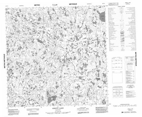
064P11 Abbott Lake Canada topo map, 1:50,000 scale
064P11 Abbott Lake NRCAN topographic map.
Includes UTM and GPS geographic coordinates (latitude and longitude). This 50k scale map is suitable for hiking, camping, and exploring, or you could frame it as a wall map.
Printed on-demand using high resolution, on heavy weight and acid free paper, or as an upgrade on a variety of synthetic materials.
Topos available on paper, Waterproof, Poly, or Tyvek. Usually shipping rolled, unless combined with other folded maps in one order.
- Product Number: NRCAN-064P11
- Parent Topo: TOPO-064P
- Map ID also known as: 064P11, 64P11
- Unfolded Size: Approximately 26" high by 36" wide
- Weight (paper map): ca. 55 grams
- Map Type: POD NRCAN Topographic Map
- Map Scale: 1:50,000
- Geographical region: Manitoba, Canada
Neighboring Maps:
All neighboring Canadian topo maps are available for sale online at 1:50,000 scale.
Purchase the smaller scale map covering this area: Topo-064P
Spatial coverage:
Topo map sheet 064P11 Abbott Lake covers the following places:
- Abbott Lake - Bollert Lake - Carruthers Lake - Falardeau Lake - Grimsdick Lake - Halloran Lake - Kaiser Lake - Kitchen Lake - Leppert Lake - McCasky Lake - Musso Lake - Oakenfold Lake - Palmatier Lake - Rivkin Lake - Sobin Lake - Talocka Lake - Vancamp Lake - Wareham Lake - Weeks Lake - Cooke Esker - Caribou River Park Reserve - Berry Rapids - Cameron River - Robinson River


