
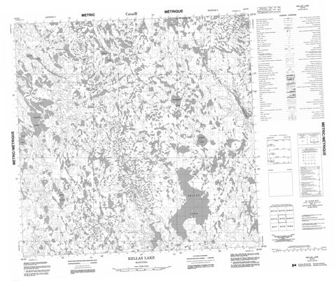
064P09 Kellas Lake Canada topo map, 1:50,000 scale
064P09 Kellas Lake NRCAN topographic map.
Includes UTM and GPS geographic coordinates (latitude and longitude). This 50k scale map is suitable for hiking, camping, and exploring, or you could frame it as a wall map.
Printed on-demand using high resolution, on heavy weight and acid free paper, or as an upgrade on a variety of synthetic materials.
Topos available on paper, Waterproof, Poly, or Tyvek. Usually shipping rolled, unless combined with other folded maps in one order.
- Product Number: NRCAN-064P09
- Parent Topo: TOPO-064P
- Map ID also known as: 064P09, 64P9, 64P09
- Unfolded Size: Approximately 26" high by 36" wide
- Weight (paper map): ca. 55 grams
- Map Type: POD NRCAN Topographic Map
- Map Scale: 1:50,000
- Geographical region: Manitoba, Canada
Neighboring Maps:
All neighboring Canadian topo maps are available for sale online at 1:50,000 scale.
Purchase the smaller scale map covering this area: Topo-064P
Spatial coverage:
Topo map sheet 064P09 Kellas Lake covers the following places:
- Hooper Point - Nicholls Point - Patterson Point - Pearson Point - Birston Lake - Bounting Lake - David Miller Lake - Gagnon Lake - Gislason Lake - Hawkes Lake - Houle Lake - Kellas Lake - Kouk Lake - Lower Lake - Ludwig Lake - McDonald Lake - Raban Lake - Rink Lake - Tester Lake - Thuytowayazay Lake - Zeglinski Lake - Caribou River Park Reserve - Caribou River - Kirk River - Mason Creek


