
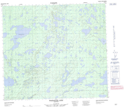
064A14 Wernham Lake Canada topo map, 1:50,000 scale
064A14 Wernham Lake NRCAN topographic map.
Includes UTM and GPS geographic coordinates (latitude and longitude). This 50k scale map is suitable for hiking, camping, and exploring, or you could frame it as a wall map.
Printed on-demand using high resolution, on heavy weight and acid free paper, or as an upgrade on a variety of synthetic materials.
Topos available on paper, Waterproof, Poly, or Tyvek. Usually shipping rolled, unless combined with other folded maps in one order.
- Product Number: NRCAN-064A14
- Parent Topo: TOPO-064A
- Map ID also known as: 064A14, 64A14
- Unfolded Size: Approximately 26" high by 36" wide
- Weight (paper map): ca. 55 grams
- Map Type: POD NRCAN Topographic Map
- Map Scale: 1:50,000
- Geographical region: Manitoba, Canada
Neighboring Maps:
All neighboring Canadian topo maps are available for sale online at 1:50,000 scale.
Purchase the smaller scale map covering this area: Topo-064A
Spatial coverage:
Topo map sheet 064A14 Wernham Lake covers the following places:
- Akinowkanayak Lake - Aministikwa Lake - Anessokamasik Lakes - Asitaytik Lake - Askasukaw Lake - Christie Lake - Everett Miller Lake - James Williams Lake - Kiask Lake - Kicheoskotim Lake - Muskaykosan Lake - Oskotimis Lake - Shetukneekowapis Lake - Wernham Lake - Yaykow Lake - David McKenzie Hill - Amisk Park Reserve - Kwuyuskow Creek - Meethachos River - Mistutikumak River


