
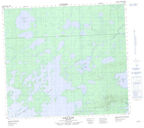
064A09 Hale Lake Canada topo map, 1:50,000 scale
064A09 Hale Lake NRCAN topographic map.
Includes UTM and GPS geographic coordinates (latitude and longitude). This 50k scale map is suitable for hiking, camping, and exploring, or you could frame it as a wall map.
Printed on-demand using high resolution, on heavy weight and acid free paper, or as an upgrade on a variety of synthetic materials.
Topos available on paper, Waterproof, Poly, or Tyvek. Usually shipping rolled, unless combined with other folded maps in one order.
- Product Number: NRCAN-064A09
- Parent Topo: TOPO-064A
- Map ID also known as: 064A09, 64A9, 64A09
- Unfolded Size: Approximately 26" high by 36" wide
- Weight (paper map): ca. 55 grams
- Map Type: POD NRCAN Topographic Map
- Map Scale: 1:50,000
- Geographical region: Manitoba, Canada
Neighboring Maps:
All neighboring Canadian topo maps are available for sale online at 1:50,000 scale.
Purchase the smaller scale map covering this area: Topo-064A
Spatial coverage:
Topo map sheet 064A09 Hale Lake covers the following places:
- Asakoochekamak Bay - Wapawmacheewin Narrows - Abraham Lake - Akinokumak Lake - Amukutaypiskasik Lake - Apiskwapasasik Lake - Aseepayaysik Lake - Atikos Lake - Bissett Lake - Hale Lake - Kamecheekamasik Lake - Limestone Lake - Niski Lake - Okawseepi Lake - Pukwasikunikan Lake - Wasipeetassini Lake - Waskaiowaka Lake - Asputinasik Rapids - Abraham River - Little Churchill River - Okaw River - Apeschaw Portage - Mistuhekasookun


