
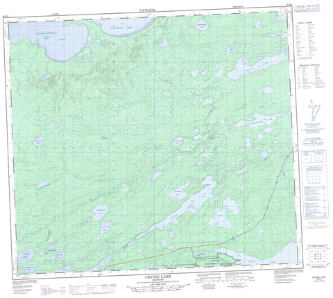
064A08 Crying Lake Canada topo map, 1:50,000 scale
064A08 Crying Lake NRCAN topographic map.
Includes UTM and GPS geographic coordinates (latitude and longitude). This 50k scale map is suitable for hiking, camping, and exploring, or you could frame it as a wall map.
Printed on-demand using high resolution, on heavy weight and acid free paper, or as an upgrade on a variety of synthetic materials.
Topos available on paper, Waterproof, Poly, or Tyvek. Usually shipping rolled, unless combined with other folded maps in one order.
- Product Number: NRCAN-064A08
- Parent Topo: TOPO-064A
- Map ID also known as: 064A08, 64A8, 64A08
- Unfolded Size: Approximately 26" high by 36" wide
- Weight (paper map): ca. 55 grams
- Map Type: POD NRCAN Topographic Map
- Map Scale: 1:50,000
- Geographical region: Manitoba, Canada
Neighboring Maps:
All neighboring Canadian topo maps are available for sale online at 1:50,000 scale.
Purchase the smaller scale map covering this area: Topo-064A
Spatial coverage:
Topo map sheet 064A08 Crying Lake covers the following places:
- Iskwayach Bay - Keskapiskow Bay - Payuknepitnayak Point - Awupak Narrows - Split Lake 171 - Akechepeemaywasik Lake - Aministikowaw Lake - Anesookamasik Lakes - Apetowachakamasik Lake - Asitayatik Lake - Assean Lake - Awanakenasik Lake - Awapawakasik Lake - Awuskwiwasik Lake - Crooked Lake - Crying Lake - Fox Lake - Koskohoe Lake - Little Assean Lake - Onawaykopawin Lake - Pukituwaw Lake - Split Lake - Waskaiowaka Lake - Waweyayaw Lake - Wuchusk Lake - Apetow River - Apukeetawacheekatak Creek - Assean River - Awaweyaykamak Creek - Crying River - Fleuve Nelson - Hunting River - Nelson River - Apeschaw Portage


