
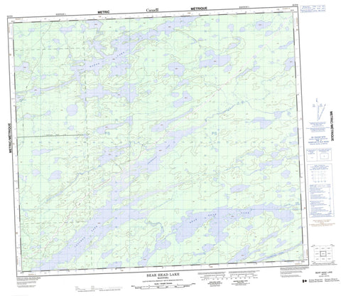
063P09 Bear Head Lake Canada topo map, 1:50,000 scale
063P09 Bear Head Lake NRCAN topographic map.
Includes UTM and GPS geographic coordinates (latitude and longitude). This 50k scale map is suitable for hiking, camping, and exploring, or you could frame it as a wall map.
Printed on-demand using high resolution, on heavy weight and acid free paper, or as an upgrade on a variety of synthetic materials.
Topos available on paper, Waterproof, Poly, or Tyvek. Usually shipping rolled, unless combined with other folded maps in one order.
- Product Number: NRCAN-063P09
- Parent Topo: TOPO-063P
- Map ID also known as: 063P09, 63P9, 63P09
- Unfolded Size: Approximately 26" high by 36" wide
- Weight (paper map): ca. 55 grams
- Map Type: POD NRCAN Topographic Map
- Map Scale: 1:50,000
- Geographical region: Manitoba, Canada
Neighboring Maps:
All neighboring Canadian topo maps are available for sale online at 1:50,000 scale.
Purchase the smaller scale map covering this area: Topo-063P
Spatial coverage:
Topo map sheet 063P09 Bear Head Lake covers the following places:
- Sidney Adams Bay - Clayton White Island - James Young Island - Major Island - Archibald Lake - Bear Head Lake - Bearhead Lake - Billy Barker Lake - Cauchon Lake - Dafoe Lake - Granath Lake - Horace Harper Lake - Neepionikup Lake - Spall Lake - Walter Harrison Lake - Clearwater River


