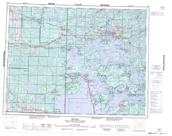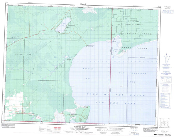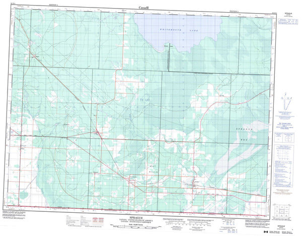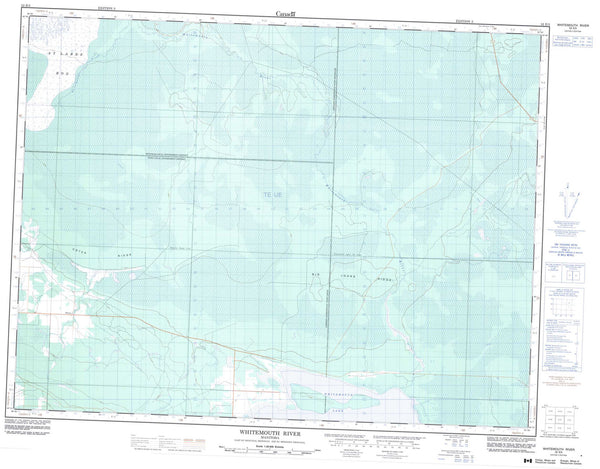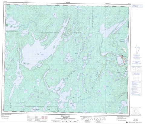
063K16 File Lake Canada topo map, 1:50,000 scale
063K16 File Lake NRCAN topographic map.
Includes UTM and GPS geographic coordinates (latitude and longitude). This 50k scale map is suitable for hiking, camping, and exploring, or you could frame it as a wall map.
Printed on-demand using high resolution, on heavy weight and acid free paper, or as an upgrade on a variety of synthetic materials.
Topos available on paper, Waterproof, Poly, or Tyvek. Usually shipping rolled, unless combined with other folded maps in one order.
- Product Number: NRCAN-063K16
- Parent Topo: TOPO-063K
- Map ID also known as: 063K16, 63K16
- Unfolded Size: Approximately 26" high by 36" wide
- Weight (paper map): ca. 55 grams
- Map Type: POD NRCAN Topographic Map
- Map Scale: 1:50,000
- Geographical region: Manitoba, Canada
Neighboring Maps:
All neighboring Canadian topo maps are available for sale online at 1:50,000 scale.
Purchase the smaller scale map covering this area: Topo-063K
Spatial coverage:
Topo map sheet 063K16 File Lake covers the following places:
- Ducharme Bay - Ellice Bay - English Bay - Folster Bay - Nelson Bay - Podruski Bay - Revord Bay - Southwest Bay - Purple Sandy Beach - Snow Lake Narrows - Biebrick Island - Blair Island - Cadzow Island - Demery Island - Elmes Island - Hyde Island - Hyde Island - Nelsons Island - Titley Island - Anderson Lake - Arm Lake - Badre Lake - Balloch Lake - Barron Lake - Beltz Lake - Benedictson Lake - Berry Lake - Bignell Lake - Birch Lake - Bohemier Lake - Bohémier Lake - Bujarski Lake - Butler Lake - Chaboyer Lake - Chisel Lake - Cleaver Lake - Collyer Lake - Comba Lake - Cook Lake - Corley Lake - Daly Lake - Deep Lake - Eastholm Lake - Edwards Lake - Epp Lake - Erzinger Lake - Fault Lake - File Lake - Flamand Lake - Fostey Lake - Foxall Lake - Fussey Lake - Gaspard Lake - Gates Lake - Ghost Lake - Granite Lake - Gutray Lake - Ham Lake - Harry Lake - Herblet Lake - Heuft Lake - Hirst Lake - Hurlin Lake - Ilasevich Lake - Iverach Lake - Januik Lake - Jog Lake - Josland Lake - Kaskamisk Lake - Ket Lake - Kluklatch Lake - Kobar Lake - Koblun Lake - Kontzie Lake - Lalor Lake - Lievense Lake - Little Norris Lake - Loonhead Lake - Machura Lake - Maw Lake - McLeod Lake - Meakin Lake - Moore Lake - Moosehorn Lake - Morgan Lake - Morton Lake - Mosso Lake - Myrtle Lake - Norris Lake - Noteme Lake - Nutt Lake - Oakes Lake - Peloquin Lake - Peppin Lake - Pethybridge Lake - Photo Lake - Podruski Lake - Potten Lake - Richard Lake - Sirluck Lake - Sneath Lake - Snell Lake - Snow Lake - Sock Lake - Squall Lake - Stayback Lake - Stolz Lake - Storozuk Lake - Stroud Lake - Styne Lake - Tent Lake - Tern Lake - Threehouse Lake - Tramping Lake - Vance Lake - Varnson Lake - Vickers Lake - Warthe Lake - Warywoda Lake - Weech Lake - Welch Lake - Woosey Lake - Wotton Lake - Yakymiw Lake - Grass River Provincial Park - Berry Creek - Canada Creek - Dykun Creek - File River - Grass River - Joy Creek - Parisian Creek - Snow Creek - Tern Creek - Woosey Creek - Four Mile Portage - Snow Lake - Chisel Lake - Venables

