
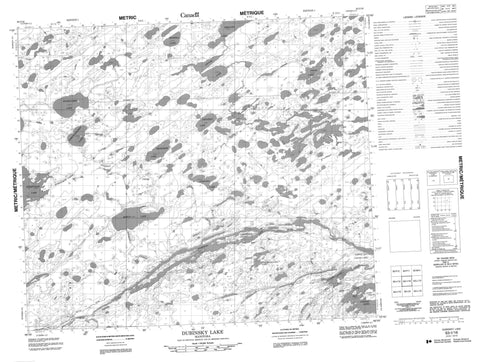
063I16 Dubinsky Lake Canada topo map, 1:50,000 scale
063I16 Dubinsky Lake NRCAN topographic map.
Includes UTM and GPS geographic coordinates (latitude and longitude). This 50k scale map is suitable for hiking, camping, and exploring, or you could frame it as a wall map.
Printed on-demand using high resolution, on heavy weight and acid free paper, or as an upgrade on a variety of synthetic materials.
Topos available on paper, Waterproof, Poly, or Tyvek. Usually shipping rolled, unless combined with other folded maps in one order.
- Product Number: NRCAN-063I16
- Parent Topo: TOPO-063I
- Map ID also known as: 063I16, 63I16
- Unfolded Size: Approximately 26" high by 36" wide
- Weight (paper map): ca. 55 grams
- Map Type: POD NRCAN Topographic Map
- Map Scale: 1:50,000
- Geographical region: Manitoba, Canada
Neighboring Maps:
All neighboring Canadian topo maps are available for sale online at 1:50,000 scale.
Purchase the smaller scale map covering this area: Topo-063I
Spatial coverage:
Topo map sheet 063I16 Dubinsky Lake covers the following places:
- Allan Bay - Carrot Bay - David Bay - Gilchrist Bay - Lynx Bay - Rae Bay - Saunders Bay - Hughes Point - McIvor Point - Sinclair Peninsula - Clarke Narrows - Hargreaves Island - Hyers Island - Peridotite Island - Rae Island - Boswell Lake - Breland Lake - Brogden Lake - Cooney Lake - Dubinsky Lake - Frobisher Lake - Girardin Lake - Hargreaves Lake - Kamikekimasic Lake - Kapechekamasic Lake - Leguee Lake - McCuaig Lake - Mowat Lake - Oxford Lake - Piskokasinowin Lake - Prior Lake - Suketukaw Lake - Wakehao Lake - Waweyasew Lake - Girardin Esker - Carrot River - Jonsson Creek - Porcupine Hill Creek - Ryne Creek - Suketukaw Creek


