
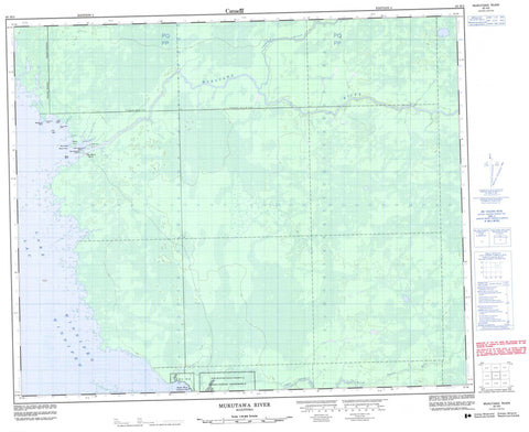
063H03 Mukutawa River Canada topo map, 1:50,000 scale
063H03 Mukutawa River NRCAN topographic map.
Includes UTM and GPS geographic coordinates (latitude and longitude). This 50k scale map is suitable for hiking, camping, and exploring, or you could frame it as a wall map.
Printed on-demand using high resolution, on heavy weight and acid free paper, or as an upgrade on a variety of synthetic materials.
Topos available on paper, Waterproof, Poly, or Tyvek. Usually shipping rolled, unless combined with other folded maps in one order.
- Product Number: NRCAN-063H03
- Parent Topo: TOPO-063H
- Map ID also known as: 063H03, 63H3, 63H03
- Unfolded Size: Approximately 26" high by 36" wide
- Weight (paper map): ca. 55 grams
- Map Type: POD NRCAN Topographic Map
- Map Scale: 1:50,000
- Geographical region: Manitoba, Canada
Neighboring Maps:
All neighboring Canadian topo maps are available for sale online at 1:50,000 scale.
Purchase the smaller scale map covering this area: Topo-063H
Spatial coverage:
Topo map sheet 063H03 Mukutawa River covers the following places:
- Beacon Point - Co-op Point - Ducks Nest Point - Johnsons Point - Two Island Point - Poplar River 16 - Berry Island - Big Helgramson Island - Big Spruce Island - Graveyard Island - Little Helgramson Island - Lac Winnipeg - Lake Winnipeg - Muskeko Lake - Annies Creek - Birks Creek - Crane Creek - Horse Creek - McKays Creek - Mukutawa River - Nanawan River - Nanowin River - North Creek - North Poplar River - Ovide Creek - Beacon Rock - Frog Reef - White Rock - Big Black River - Negginan - Poplar River


