
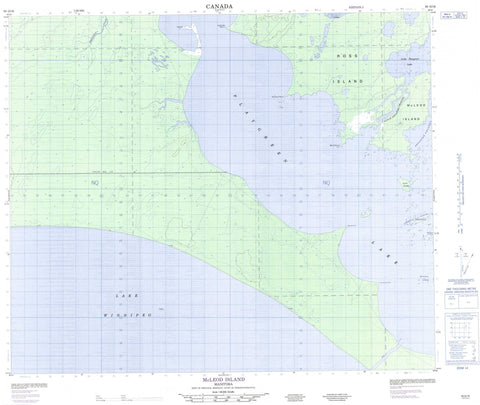
063G16 Mcleod Island Canada topo map, 1:50,000 scale
063G16 Mcleod Island NRCAN topographic map.
Includes UTM and GPS geographic coordinates (latitude and longitude). This 50k scale map is suitable for hiking, camping, and exploring, or you could frame it as a wall map.
Printed on-demand using high resolution, on heavy weight and acid free paper, or as an upgrade on a variety of synthetic materials.
Topos available on paper, Waterproof, Poly, or Tyvek. Usually shipping rolled, unless combined with other folded maps in one order.
- Product Number: NRCAN-063G16
- Parent Topo: TOPO-063G
- Map ID also known as: 063G16, 63G16
- Unfolded Size: Approximately 26" high by 36" wide
- Weight (paper map): ca. 55 grams
- Map Type: POD NRCAN Topographic Map
- Map Scale: 1:50,000
- Geographical region: Manitoba, Canada
Neighboring Maps:
All neighboring Canadian topo maps are available for sale online at 1:50,000 scale.
Purchase the smaller scale map covering this area: Topo-063G
Spatial coverage:
Topo map sheet 063G16 Mcleod Island covers the following places:
- Dennison Point - Ermine Point - Martin Point - Paupanekis Point - Peat Point - Sandy Bar Point - Weasel Point - Nelson River (West Channel) - Two Mile Channel - Flett Island - Jackfish Island - Langlois Islands - Malcolms Landing - McLeod Island - Ross Island - Whitefish Islands - Lac Winnipeg - Lake Winnipeg - Little Playgreen Lake - Playgreen Lake - Fleuve Nelson - Kiskittogisu River - Little Sepastak Channel - Nelson River - Sepastak Channel


