
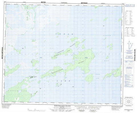
063F08 Kokookuhoo Island Canada topo map, 1:50,000 scale
063F08 Kokookuhoo Island NRCAN topographic map.
Includes UTM and GPS geographic coordinates (latitude and longitude). This 50k scale map is suitable for hiking, camping, and exploring, or you could frame it as a wall map.
Printed on-demand using high resolution, on heavy weight and acid free paper, or as an upgrade on a variety of synthetic materials.
Topos available on paper, Waterproof, Poly, or Tyvek. Usually shipping rolled, unless combined with other folded maps in one order.
- Product Number: NRCAN-063F08
- Parent Topo: TOPO-063F
- Map ID also known as: 063F08, 63F8, 63F08
- Unfolded Size: Approximately 26" high by 36" wide
- Weight (paper map): ca. 55 grams
- Map Type: POD NRCAN Topographic Map
- Map Scale: 1:50,000
- Geographical region: Manitoba, Canada
Neighboring Maps:
All neighboring Canadian topo maps are available for sale online at 1:50,000 scale.
Purchase the smaller scale map covering this area: Topo-063F
Spatial coverage:
Topo map sheet 063F08 Kokookuhoo Island covers the following places:
- Clear Bay - Paul Harbour - Chemahawin Point - Chemawawin Point - Oleson Point - Kawupawsik Narrows - Ministik Narrows - Chemawawin 1 - Chemawawin Island - Crossing Island - Crossing Islands - Duncan Island - Fort Island - Fort Island - Fort Islands - Kaniawakak Island - Kokookuhoo Island - Oleson Island - Cedar Lake - Little Fish Lake - Long Grass Lake - Pullover Lake - Asoowunan Channel - Head River - Rivière Saskatchewan - Saskatchewan River - Cedar Lake


