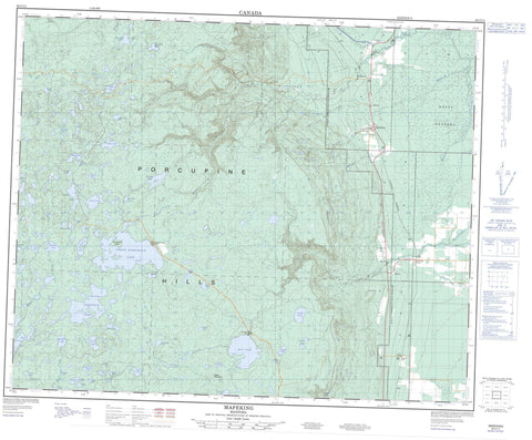
063C11 Mafeking Canada topo map, 1:50,000 scale
063C11 Mafeking NRCAN topographic map.
Includes UTM and GPS geographic coordinates (latitude and longitude). This 50k scale map is suitable for hiking, camping, and exploring, or you could frame it as a wall map.
Printed on-demand using high resolution, on heavy weight and acid free paper, or as an upgrade on a variety of synthetic materials.
Topos available on paper, Waterproof, Poly, or Tyvek. Usually shipping rolled, unless combined with other folded maps in one order.
- Product Number: NRCAN-063C11
- Parent Topo: TOPO-063C
- Map ID also known as: 063C11, 63C11
- Unfolded Size: Approximately 26" high by 36" wide
- Weight (paper map): ca. 55 grams
- Map Type: POD NRCAN Topographic Map
- Map Scale: 1:50,000
- Geographical region: Manitoba, Canada
Neighboring Maps:
All neighboring Canadian topo maps are available for sale online at 1:50,000 scale.
Purchase the smaller scale map covering this area: Topo-063C
Spatial coverage:
Topo map sheet 063C11 Mafeking covers the following places:
- Wuskwi Sipihk 5 - Wuskwi Sipihk 6 - Wuskwi Sipihk 8 - Gill Island - Somcynsky Island - Arch Lake - Bear Paw Lake - Beaver Dam Lake - Bell Lake - Big Rock Lake - Border Lake - Caboose Lake - Centre Lake - Christmas Lake - Deep Lake - Dirty Water Lake - Dyer Lake - East Rice Lake - Erics Lake - Fagnan Lake - Fisher Lake - Fishing Lake - Foster Lake - Garlic Lake - Gass Lake - Genaille Lake - Goulin Lake - Hoodoo Lake - Johnson Lake - Koons Lake - Lagace Lakes - Lost Lake - Lucky Lake - Moosehead Lake - Nick Lake - North Lake - North Steeprock Lake - Porath Lake - Pup Lake - Red Shack Lake - Rhubarb Lake - Ridge Lake - Rutledge Lake - Schade Lake - Severns Lake - Silt Lake - Skull Lake - Snail Lake - South Steeprock Lake - Spider Lake - Spoon Lake - Steeprock Lakes - Steeprock Lakes - Vini Lake - Virgin Lake - West Rice Lake - Whites Lake - Willow Lake - Woody Lake - Youngs Lakes - Porcupine Hills - Sable Mountain - Mountain - Bell Lake Provincial Park - North Steeprock Lake Provincial Park - Porcupine Provincial Forest - Steeprock Lake Park - Beaver Creek - Bell River - Campbell Creek - Fishing Lake Creek - Glover Creek - Little Woody River - Moose Creek - Morgan Creek - Rice River - Rogers Creek - Steeprock River - Ward Creek - Wilson Creek - Bellsite - Mafeking - Novra - Whitmore - Moose Meadows

