
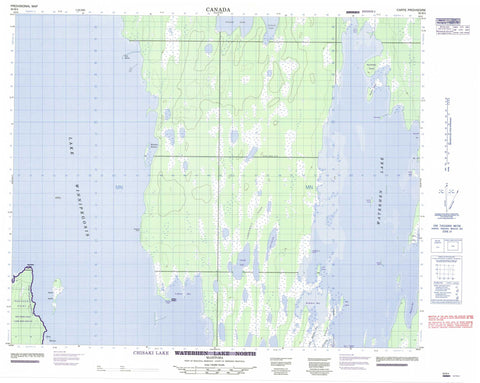
063B04 Chisaki Lake Canada topo map, 1:50,000 scale
063B04 Chisaki Lake NRCAN topographic map.
Includes UTM and GPS geographic coordinates (latitude and longitude). This 50k scale map is suitable for hiking, camping, and exploring, or you could frame it as a wall map.
Printed on-demand using high resolution, on heavy weight and acid free paper, or as an upgrade on a variety of synthetic materials.
Topos available on paper, Waterproof, Poly, or Tyvek. Usually shipping rolled, unless combined with other folded maps in one order.
- Product Number: NRCAN-063B04
- Parent Topo: TOPO-063B
- Map ID also known as: 063B04, 63B4, 63B04
- Unfolded Size: Approximately 26" high by 36" wide
- Weight (paper map): ca. 55 grams
- Map Type: POD NRCAN Topographic Map
- Map Scale: 1:50,000
- Geographical region: Manitoba, Canada
Neighboring Maps:
All neighboring Canadian topo maps are available for sale online at 1:50,000 scale.
Purchase the smaller scale map covering this area: Topo-063B
Spatial coverage:
Topo map sheet 063B04 Chisaki Lake covers the following places:
- Coffeys Bay - Glory Harbour - Kokokoo Bay - Long Bay - McAulay Harbour - Sawmill Bay - Solomons Bay - Adams Point - Brabant Point - Coffee Point - Coffeys Point - Jacks Point - North Adams Point - Red Deer Point - Campbells Bluff - Waterhen 45 - Big Hunters Island - Chiefs Island - Devils Island - Garden Island - Gun Island - High Island - Hunters Island - Kokokoo Island - Last Island - McLeods Island - Pipe Island - Sawbill Island - Chisaki Lake - Inland Lake - Lac Winnipegosis - Lake Winnipegosis - Little Long Lake - Waterhen Lake - Timberwolf Ridge - Mossey River - Red Deer Point Game Bird Refuge - West Waterhen River


