
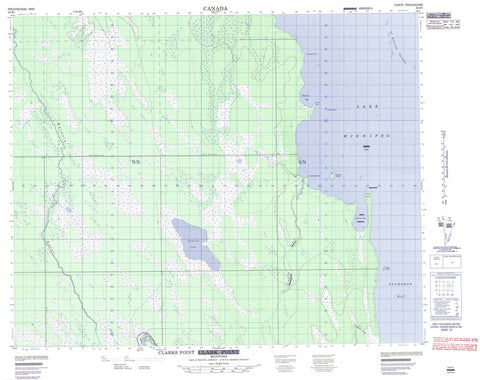
063B01 Clarks Point Canada topo map, 1:50,000 scale
063B01 Clarks Point NRCAN topographic map.
Includes UTM and GPS geographic coordinates (latitude and longitude). This 50k scale map is suitable for hiking, camping, and exploring, or you could frame it as a wall map.
Printed on-demand using high resolution, on heavy weight and acid free paper, or as an upgrade on a variety of synthetic materials.
Topos available on paper, Waterproof, Poly, or Tyvek. Usually shipping rolled, unless combined with other folded maps in one order.
- Product Number: NRCAN-063B01
- Parent Topo: TOPO-063B
- Map ID also known as: 063B01, 63B1, 63B01
- Unfolded Size: Approximately 26" high by 36" wide
- Weight (paper map): ca. 55 grams
- Map Type: POD NRCAN Topographic Map
- Map Scale: 1:50,000
- Geographical region: Manitoba, Canada
Neighboring Maps:
All neighboring Canadian topo maps are available for sale online at 1:50,000 scale.
Purchase the smaller scale map covering this area: Topo-063B
Spatial coverage:
Topo map sheet 063B01 Clarks Point covers the following places:
- Clark Harbour - Clarks Bay - Hladun Bay - Sturgeon Bay - Carscallen Point - Clark Point - Clarks Point - Hladun Point - Caribou Island - Cherry Island - Eaglenest Island - Gravel Island - Hladun Island - St. Martin Islands - Anderson Lake - Lac Winnipeg - Lake Winnipeg - Cranberry Creek - Dauphin River - Jumping Creek - Jumping River - Solomon Creek - Solomons Creek - Warpath River - The Big Bend


