
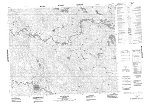
063A01 Short Lake Canada topo map, 1:50,000 scale
063A01 Short Lake NRCAN topographic map.
Includes UTM and GPS geographic coordinates (latitude and longitude). This 50k scale map is suitable for hiking, camping, and exploring, or you could frame it as a wall map.
Printed on-demand using high resolution, on heavy weight and acid free paper, or as an upgrade on a variety of synthetic materials.
Topos available on paper, Waterproof, Poly, or Tyvek. Usually shipping rolled, unless combined with other folded maps in one order.
- Product Number: NRCAN-063A01
- Parent Topo: TOPO-063A
- Map ID also known as: 063A01, 63A1, 63A01
- Unfolded Size: Approximately 26" high by 36" wide
- Weight (paper map): ca. 55 grams
- Map Type: POD NRCAN Topographic Map
- Map Scale: 1:50,000
- Geographical region: Manitoba, Canada
Neighboring Maps:
All neighboring Canadian topo maps are available for sale online at 1:50,000 scale.
Purchase the smaller scale map covering this area: Topo-063A
Spatial coverage:
Topo map sheet 063A01 Short Lake covers the following places:
- Wapanoneeki Rapids - Beaver Dam Falls - Childs Falls - Crooked Falls - Etomami Falls - Grant Falls - Island Hill Falls - Kaminnistikoskak Falls - Long Lake Falls - Old Fort Falls - Sharp Rock Falls - Smooth Rock Falls - White Beaver Falls - Wolf Falls - Kitchi Lakes - Long Haul Lake - Long Lake - Longish Lakes - Otapeenawaywi Lake - Round Lake - Sangster Lake - Saucer Lake - Short Lake - Tortue Lake - Vermilion Lake - Atikaki Provincial Park - Atikaki Provincial Wilderness Park - Asamapikkanaponunk Rapids - Canyon Rapids - Kakewawun Rapids - Matawank Rapids - Metikkapasetawint Rapids - Napanay Rapids - Opikwach Rapids - Pine Island Rapids - Wapeekun Rapids - Wapeenkun Rapids - Berens River - Etomami River - Goose Creek - Katawakyni Creek - Moose Creek - North Boundary Creek - Otapeenawaywi Creek - Pigeon River - South Boundary Creek - White Beaver River - Assineweetasataypawin - Kamaskawak


