
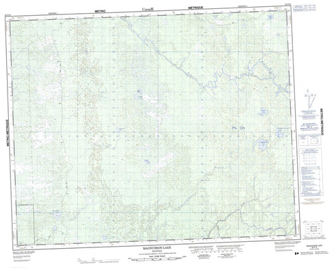
062P16 Magnusson Lake Canada topo map, 1:50,000 scale
062P16 Magnusson Lake NRCAN topographic map.
Includes UTM and GPS geographic coordinates (latitude and longitude). This 50k scale map is suitable for hiking, camping, and exploring, or you could frame it as a wall map.
Printed on-demand using high resolution, on heavy weight and acid free paper, or as an upgrade on a variety of synthetic materials.
Topos available on paper, Waterproof, Poly, or Tyvek. Usually shipping rolled, unless combined with other folded maps in one order.
- Product Number: NRCAN-062P16
- Parent Topo: TOPO-062P
- Map ID also known as: 062P16, 62P16
- Unfolded Size: Approximately 26" high by 36" wide
- Weight (paper map): ca. 55 grams
- Map Type: POD NRCAN Topographic Map
- Map Scale: 1:50,000
- Geographical region: Manitoba, Canada
Neighboring Maps:
All neighboring Canadian topo maps are available for sale online at 1:50,000 scale.
Purchase the smaller scale map covering this area: Topo-062P
Spatial coverage:
Topo map sheet 062P16 Magnusson Lake covers the following places:
- Amoskawaywe Lake - Amoskawaywesis Lake - Clueit Lake - Hooker Lake - Kinawpekanope Lake - Loeppky Lake - Lysay Lake - Magnusson Lake - Manness Lake - Neish Lake - Owen Lake - Ruck Lake - Atikaki Provincial Park - Atikaki Provincial Wilderness Park - Amoskawaywe Creek - Bradbury River - Delorme Creek - Leyond River - Long Body Creek - Makatiko Creek - Pigeon River - South Boundary Creek - White Beaver River


