
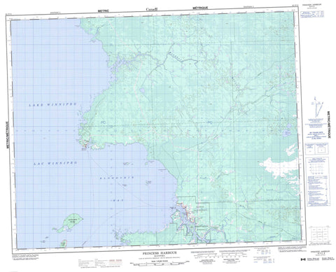
062P15 Princess Harbour Canada topo map, 1:50,000 scale
062P15 Princess Harbour NRCAN topographic map.
Includes UTM and GPS geographic coordinates (latitude and longitude). This 50k scale map is suitable for hiking, camping, and exploring, or you could frame it as a wall map.
Printed on-demand using high resolution, on heavy weight and acid free paper, or as an upgrade on a variety of synthetic materials.
Topos available on paper, Waterproof, Poly, or Tyvek. Usually shipping rolled, unless combined with other folded maps in one order.
- Product Number: NRCAN-062P15
- Parent Topo: TOPO-062P
- Map ID also known as: 062P15, 62P15
- Unfolded Size: Approximately 26" high by 36" wide
- Weight (paper map): ca. 55 grams
- Map Type: POD NRCAN Topographic Map
- Map Scale: 1:50,000
- Geographical region: Manitoba, Canada
Neighboring Maps:
All neighboring Canadian topo maps are available for sale online at 1:50,000 scale.
Purchase the smaller scale map covering this area: Topo-062P
Spatial coverage:
Topo map sheet 062P15 Princess Harbour covers the following places:
- Black Bear Harbour - Bloodvein Bay - Princess Harbour - Dog Head Point - Doghead Point - East Doghead Point - Kanapapekosenekak Point - Kaneeskatakak Point - Kanikopak Point - Rabbit Point - Split Rock Point - The Narrows - Bloodvein 12 - Black Bear Island - Cub Island - Dennetts Island - Dog Island - Jailers Island - Kanikopak Island - Kitchi Island - Matheson Island - McLeods Island - Pesko Island - Red Rock Island - Lac Winnipeg - Lake Winnipeg - Lysay Lake - Moose Creek Provincial Forest - Moose Creek Wildlife Management Area - Kakeenomeeniapekak Rapids - Bloodvein River - Bradbury River - Kaneeshotekwayak Creek - Long Body Creek - Manamik Creek - Pakasekan Creek - Petopeko Creek - Taskapekawe Creek - Helges Reef - Sturgeon Rock - Thoburn Rock - Bloodvein - Bloodvein River - Long Body Creek - Princess Harbour


