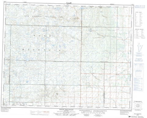
062N07 Baldy Mountain Canada topo map, 1:50,000 scale
062N07 Baldy Mountain NRCAN topographic map.
Includes UTM and GPS geographic coordinates (latitude and longitude). This 50k scale map is suitable for hiking, camping, and exploring, or you could frame it as a wall map.
Printed on-demand using high resolution, on heavy weight and acid free paper, or as an upgrade on a variety of synthetic materials.
Topos available on paper, Waterproof, Poly, or Tyvek. Usually shipping rolled, unless combined with other folded maps in one order.
- Product Number: NRCAN-062N07
- Parent Topo: TOPO-062N
- Map ID also known as: 062N07, 62N7, 62N07
- Unfolded Size: Approximately 26" high by 36" wide
- Weight (paper map): ca. 55 grams
- Map Type: POD NRCAN Topographic Map
- Map Scale: 1:50,000
- Geographical region: Manitoba, Canada
Neighboring Maps:
All neighboring Canadian topo maps are available for sale online at 1:50,000 scale.
Purchase the smaller scale map covering this area: Topo-062N
Spatial coverage:
Topo map sheet 062N07 Baldy Mountain covers the following places:
- Valley River 63A - Big McVey Lake - Black Spruce Lake - Boundary Lake - Carrot Lake - Cat Shed Lake - Corner Lake - Crescent Lake - Dalgleish Lake - Dead Birch Lake - Dead Horse Lake - Dead Man Lake - Duck Lake - East Crescent Lake - Echo Lake - Egg Lake - Fifteen Lakes - Hornet Lake - Island Lake - Jack Pine Lake - Jackfish Lake - Jellyfish Lake - King Lake - Little Island Lake - Little McVey Lake - Little Tank Lake - Mink Lake - Minton Lake - Mulligan Lake - Nixon Lake - Olsen Lake - Pearl Lake - Pipe Lake - Prairie Lake - Rattlesnake Lake - Rochester Lake - Rubber Lake - Sandys Lake - Shanty Lake - Slash Lake - Slyziuk Lake - Sopkiw Lake - South Corner Lake - Sparks Lake - Spectacles Lake - Spiders Lake - Spring Lake - Start Lake - Stony Lake - Sucker Lake - Triple Lake - Winding Lake - Wing Lake - Wolf Lake - (The) Sleeping Giants - Baldy Mountain - Duck Mountain - Ethelbert Hill - Levins Hill - The Sleeping Giants - Hillsburg - Duck Mountain Provincial Forest - Duck Mountain Provincial Park - Duck Mountain Wildlife Refuge - Bear Creek - Drifting River - Elk Lake Creek - Fishing River - Mink Creek - Mink River - Rattlesnake Creek - Shanty Creek - Silver Creek - Sulphurspring Creek - Valley River - Drifting River - Fishing River - Grifton - Spring Creek

