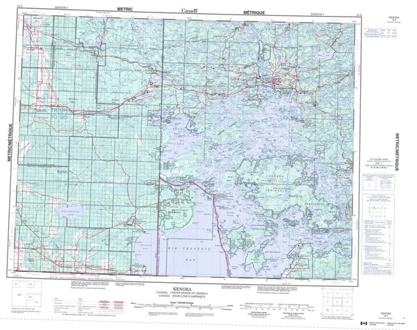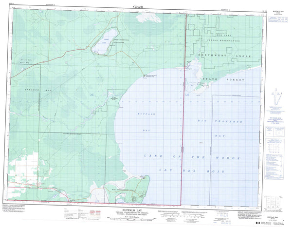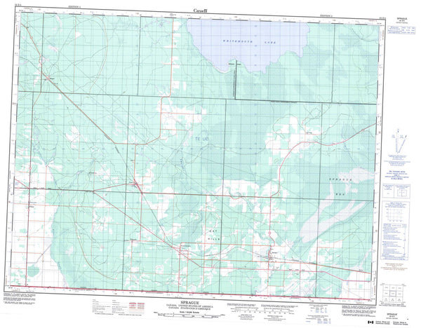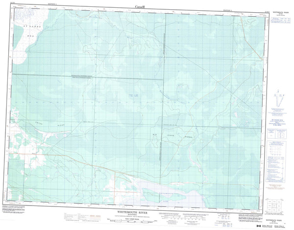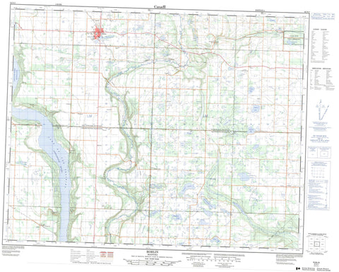
062N03 Roblin Canada topo map, 1:50,000 scale
062N03 Roblin NRCAN topographic map.
Includes UTM and GPS geographic coordinates (latitude and longitude). This 50k scale map is suitable for hiking, camping, and exploring, or you could frame it as a wall map.
Printed on-demand using high resolution, on heavy weight and acid free paper, or as an upgrade on a variety of synthetic materials.
Topos available on paper, Waterproof, Poly, or Tyvek. Usually shipping rolled, unless combined with other folded maps in one order.
- Product Number: NRCAN-062N03
- Parent Topo: TOPO-062N
- Map ID also known as: 062N03, 62N3, 62N03
- Unfolded Size: Approximately 26" high by 36" wide
- Weight (paper map): ca. 55 grams
- Map Type: POD NRCAN Topographic Map
- Map Scale: 1:50,000
- Geographical region: Manitoba, Canada
Neighboring Maps:
All neighboring Canadian topo maps are available for sale online at 1:50,000 scale.
Purchase the smaller scale map covering this area: Topo-062N
Spatial coverage:
Topo map sheet 062N03 Roblin covers the following places:
- Pyotts Point - Valley River 63A - Arnott Lakes - Bench Lake - Bisgrove Lake - Bluewing Lake - Calcutt Lake - Cee Lake - Charles Lake - Clearwater Lake - Coot Lake - Craw Lake - Diamond Lake - Duck Lake - Elbow Lake - Gilbert Lake - Goods Lake - Goose Lakes - Harrop Lakes - Hromlacks Lakes - Iftodi Lake - Jaasund Lake - Kerr Lake - Kitsch Lake - Komishens Lake - Komishins Lake - Lake of the Prairies - Leech Lake - Longdens Lake - McArthur Lake - Melosinskys Lake - Minas Lake - Morisette Lake - Nevistiuk Lake - Norma Lake - Norway Lake - Oddfellow Lake - Old Womans Lake - Olsons Lake - Onofriechuk Lake - Oseski Lake - Pleasant Valley Lake - Reed Bird Lake - Roblin Lakes - Snake Lake - Snowdon Lake - Squance Lake - Stephens Lake - Tern Lake - Wenners Lake - Whiteway Lake - Wiltshire Lake - Wincell Lake - Bodnaruk Hill - Case Hill - Dropmore Hill - Mitchells Hill - Skinner Hill - Boulton - Hillsburg - Shell River - Shellmouth - Shellmouth-Boulton - Assiniboine River - Bell Creek - Gilbert Creek - Pleasant Valley Creek - Shell River - Short Creek - Takwa Creek - Parks Route - Route des parcs - Roblin - Bield - Bluewing - Dropmore - Petlura - Shell Valley - Shevlin - Shortdale - Tummel - Twin Brae - Bluewing Swamp

