
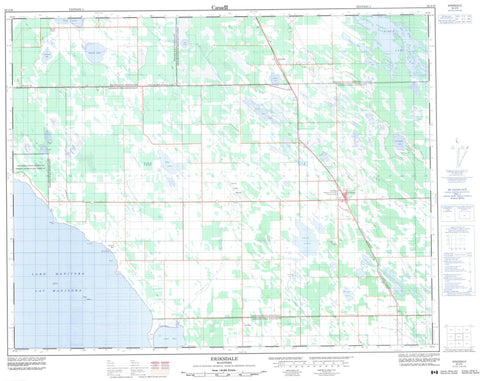
062J16 Eriksdale Canada topo map, 1:50,000 scale
062J16 Eriksdale NRCAN topographic map.
Includes UTM and GPS geographic coordinates (latitude and longitude). This 50k scale map is suitable for hiking, camping, and exploring, or you could frame it as a wall map.
Printed on-demand using high resolution, on heavy weight and acid free paper, or as an upgrade on a variety of synthetic materials.
Topos available on paper, Waterproof, Poly, or Tyvek. Usually shipping rolled, unless combined with other folded maps in one order.
- Product Number: NRCAN-062J16
- Parent Topo: TOPO-062J
- Map ID also known as: 062J16, 62J16
- Unfolded Size: Approximately 26" high by 36" wide
- Weight (paper map): ca. 55 grams
- Map Type: POD NRCAN Topographic Map
- Map Scale: 1:50,000
- Geographical region: Manitoba, Canada
Neighboring Maps:
All neighboring Canadian topo maps are available for sale online at 1:50,000 scale.
Purchase the smaller scale map covering this area: Topo-062J
Spatial coverage:
Topo map sheet 062J16 Eriksdale covers the following places:
- Lily Bay - Scotch Bay - Long Point Beach - Elm Point - Long Point - Taylors Point - Watsons Point - Burnt Lake Drain - Chippewa Creek Drain - Little Dog Lake Drain - Pine Lake Drain - Swan Lake Dam - Swan Lake Drain - Dog Creek 46 - Blues Islands - Abes Lake - Birch Lake - Buffalo Lake - Clearwater Lake - Doctors Lake - Dog Lake - Dufault Lake - Elk Lake - Kalevala Lake - Kalevala Lakes - Kalevala Lakes - Kalevala Lakes - Kalevala Lakes - Lac Manitoba - Lake Manitoba - Little Dog Lake - Monkman Lake - Pine Lake - Round Lake - School Lake - Star Lake - Steepbank Lake - Swan Lake - Coldwell - Eriksdale - Grahamdale - Siglunes - Sleeve Lake Wildlife Management Area - Swan Creek - Deer Horn - Deerhorn - Eriksdale - Lily Bay - MacRoss - Mulvihill - Oatfield - Overton - Pebble Beach - Pine View - Scotch Bay - Long Lake Marsh


