
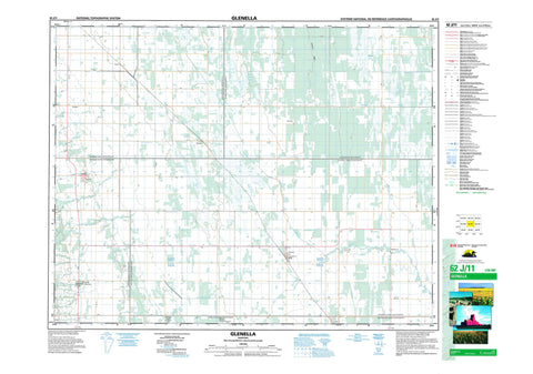
062J11 Glenella Canada topo map, 1:50,000 scale
062J11 Glenella NRCAN topographic map.
Includes UTM and GPS geographic coordinates (latitude and longitude). This 50k scale map is suitable for hiking, camping, and exploring, or you could frame it as a wall map.
Printed on-demand using high resolution, on heavy weight and acid free paper, or as an upgrade on a variety of synthetic materials.
Topos available on paper, Waterproof, Poly, or Tyvek. Usually shipping rolled, unless combined with other folded maps in one order.
- Product Number: NRCAN-062J11
- Parent Topo: TOPO-062J
- Map ID also known as: 062J11, 62J11
- Unfolded Size: Approximately 26" high by 36" wide
- Weight (paper map): ca. 55 grams
- Map Type: POD NRCAN Topographic Map
- Map Scale: 1:50,000
- Geographical region: Manitoba, Canada
Neighboring Maps:
All neighboring Canadian topo maps are available for sale online at 1:50,000 scale.
Purchase the smaller scale map covering this area: Topo-062J
Spatial coverage:
Topo map sheet 062J11 Glenella covers the following places:
- Big Grass River Angle Ditch - Correction Line Drain - Glencairn Ditch - Glenella Drain - Kuyp Drain - Norgate Drain - Reeve Drain - Riding Mountain Drain - Rocklan Drain - Bing Lake - Black Poplar Bluff Lake - Gilmore Lake - Little Pockett Lake - Marys Lake - Pockett Lake - Silver Lake - Sul Lake - Lanbourne Ridge - Alonsa - Glenella - Lansdowne - McCreary - Rosedale - Westbourne - Whitemud Watershed Wildlife Management Area - Big Grass River - Birnie Creek - Garrioch Creek - Kinch Creek - McLung Creek - North Snake Creek - Pelican Creek - Turtle River - Parks Route - Route des parcs - Bellhampton - Glencairn - Glenella - Glenhope - Kelwood - Norgate - Reeve - Riding Mountain - Sunville - Tenby - Waldersee


