
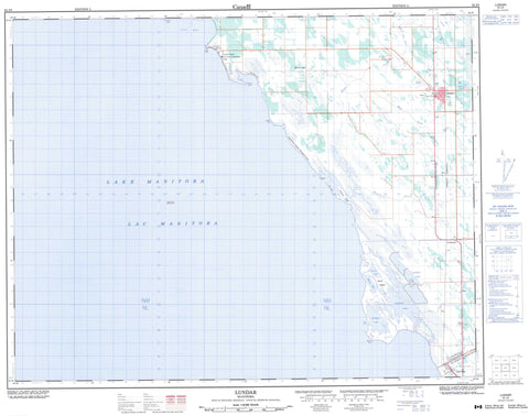
062J09 Lundar Canada topo map, 1:50,000 scale
062J09 Lundar NRCAN topographic map.
Includes UTM and GPS geographic coordinates (latitude and longitude). This 50k scale map is suitable for hiking, camping, and exploring, or you could frame it as a wall map.
Printed on-demand using high resolution, on heavy weight and acid free paper, or as an upgrade on a variety of synthetic materials.
Topos available on paper, Waterproof, Poly, or Tyvek. Usually shipping rolled, unless combined with other folded maps in one order.
- Product Number: NRCAN-062J09
- Parent Topo: TOPO-062J
- Map ID also known as: 062J09, 62J9, 62J09
- Unfolded Size: Approximately 26" high by 36" wide
- Weight (paper map): ca. 55 grams
- Map Type: POD NRCAN Topographic Map
- Map Scale: 1:50,000
- Geographical region: Manitoba, Canada
Neighboring Maps:
All neighboring Canadian topo maps are available for sale online at 1:50,000 scale.
Purchase the smaller scale map covering this area: Topo-062J
Spatial coverage:
Topo map sheet 062J09 Lundar covers the following places:
- Lily Bay - Sigfussons Beach - Long Point - Marshy Point - Monkmans Point - Rabbit Point - Sandy Point - Sugar Point - The Gap - Oak Point Settlement - Burnt Lake Drain - Hatchery Drain - Mud Lake Drain - Fox Island - Harris Island - Hatchery Island - Artificial Lake - Bluebill Lake - Channel Lake - Lac Manitoba - Lake Manitoba - Lundar Pond - Morris Lake - School Lake - Lundar Beach Provincial Park - Lundar Beach Provincial Recreation Park - Marshy Point Game Bird Refuge - Marshy Point Goose Refuge - Marshy Point Wildlife Management Area - Channel Creek - Deep Creek - First Creek - Joes Creek - Swan Creek - Wagon Creek - Clarkleigh - Cold Springs - Lundar - Lundar Beach - Mary Hill - Minnewakan - Oak Point


