
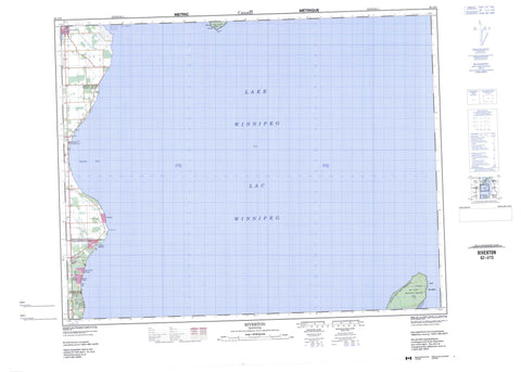
062I15 Riverton Canada topo map, 1:50,000 scale
062I15 Riverton NRCAN topographic map.
Includes UTM and GPS geographic coordinates (latitude and longitude). This 50k scale map is suitable for hiking, camping, and exploring, or you could frame it as a wall map.
Printed on-demand using high resolution, on heavy weight and acid free paper, or as an upgrade on a variety of synthetic materials.
Topos available on paper, Waterproof, Poly, or Tyvek. Usually shipping rolled, unless combined with other folded maps in one order.
- Product Number: NRCAN-062I15
- Parent Topo: TOPO-062I
- Map ID also known as: 062I15, 62I15
- Unfolded Size: Approximately 26" high by 36" wide
- Weight (paper map): ca. 55 grams
- Map Type: POD NRCAN Topographic Map
- Map Scale: 1:50,000
- Geographical region: Manitoba, Canada
Neighboring Maps:
All neighboring Canadian topo maps are available for sale online at 1:50,000 scale.
Purchase the smaller scale map covering this area: Topo-062I
Spatial coverage:
Topo map sheet 062I15 Riverton covers the following places:
- Breda Bay - Riverton Harbour - Hnausa Beach - Sandy Bar - Bordeiri Point - Drunken Point - Hokanson Point - Elk Island - Hecla Island - Lac Winnipeg - Lake Winnipeg - Bifrost - Gimli - Victoria Beach - Elk Island Provincial Heritage Park - Elk Island Provincial Park - Hecla Provincial Heritage Park - Hecla Provincial Park - Hnausa Beach Provincial Park - Hnausa Beach Provincial Recreation Park - Drunken River - Icelandic River - Hnausa Reef - Pearson Reef - Arnes - Balaton Beach - Bay Shore Heights - Brewster Bay - Finns - Glen Bay - Hnausa - Loch Woods - Nes - Ness Country - Silver Harbour - Spruce Bay Heights - Spruce Sands - Valhalla - Riverton


