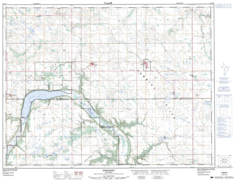
062G07 Somerset Canada topo map, 1:50,000 scale
062G07 Somerset NRCAN topographic map.
Includes UTM and GPS geographic coordinates (latitude and longitude). This 50k scale map is suitable for hiking, camping, and exploring, or you could frame it as a wall map.
Printed on-demand using high resolution, on heavy weight and acid free paper, or as an upgrade on a variety of synthetic materials.
Topos available on paper, Waterproof, Poly, or Tyvek. Usually shipping rolled, unless combined with other folded maps in one order.
- Product Number: NRCAN-062G07
- Parent Topo: TOPO-062G
- Map ID also known as: 062G07, 62G7, 62G07
- Unfolded Size: Approximately 26" high by 36" wide
- Weight (paper map): ca. 55 grams
- Map Type: POD NRCAN Topographic Map
- Map Scale: 1:50,000
- Geographical region: Manitoba, Canada
Neighboring Maps:
All neighboring Canadian topo maps are available for sale online at 1:50,000 scale.
Purchase the smaller scale map covering this area: Topo-062G
Spatial coverage:
Topo map sheet 062G07 Somerset covers the following places:
- Stony Point - Côte Beaulieu - Mary Jane Dam - Swan Lake 7 - Balfours Lake - Barbours Lake - Blackburns Lake - Cabernel Lakes - De Pauws Lake - De Vos Lake - DeRuyck Lake - Deschouwer Lake - Fraser Lake - Heatherington Lake - Hutlets Lake - Jeffs Lake - Lac Edouard - Lac Labossiere - Lac Labossière - Lac Monseigneur - Lac Rondeau - Lac St. Leon - Lake Seven - Mary Jane Reservoir - Messner Lake - Rigaux Lake - Salt Lake - Simoens Lake - Stevens Lake - Swan Lake - Ansell Hill - Buydens Hill - Hirst Hill - Mount Royal - Pembina Hills - Pembina Mountain - Tiger Hills - Verdigen Hill - Lorne - Louise - Pembina - Pembina Valley Wildlife Management Area - Cypress River - Dry River - Hammonds Creek - Lyles Creek - Mary Jane Creek - McCoys Creek - Pembina River - Princes Creek - Rivière Pembina - Roseisle Creek - Somerset Creek - Syndicate Creek - Grand Forks - The Horseshoe - Creamery Bridge - Vassarts Bridge - Binney - Bruxelles - Cardinal - Hubbell - Indian Springs - Kingsley - Mariapolis - Risteen - St. Leon - Swan Lake - Swan Lake Reserve - Wood Bay - Bourques Ravine - Pembina Valley - Snow Valley - Beechs Slough - Birnie Sloughs - Bourques Slough - Browns Slough - Clements Slough - Closs Slough - Demare Slough - Desrochers Slough - Grassick Slough - Grassy Marsh - Hughson Slough - Jackson Slough - Kemp Slough - Kester Sloughs - Mogridge Slough - Munro Sloughs - Nivon Slough - Roeland Sloughs - Roelands Sloughs - Spitaels Marsh - Somerset

