
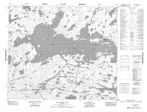
053K04 Red Sucker Lake Canada topo map, 1:50,000 scale
053K04 Red Sucker Lake NRCAN topographic map.
Includes UTM and GPS geographic coordinates (latitude and longitude). This 50k scale map is suitable for hiking, camping, and exploring, or you could frame it as a wall map.
Printed on-demand using high resolution, on heavy weight and acid free paper, or as an upgrade on a variety of synthetic materials.
Topos available on paper, Waterproof, Poly, or Tyvek. Usually shipping rolled, unless combined with other folded maps in one order.
- Product Number: NRCAN-053K04
- Parent Topo: TOPO-053K
- Map ID also known as: 053K04, 53K4, 53K04
- Unfolded Size: Approximately 26" high by 36" wide
- Weight (paper map): ca. 55 grams
- Map Type: POD NRCAN Topographic Map
- Map Scale: 1:50,000
- Geographical region: Manitoba, Canada
Neighboring Maps:
All neighboring Canadian topo maps are available for sale online at 1:50,000 scale.
Purchase the smaller scale map covering this area: Topo-053K
Spatial coverage:
Topo map sheet 053K04 Red Sucker Lake covers the following places:
- Mackie Bay - Sekak Bay - Wasahatawakak Bay - Moses Point - Nachowakak Point - Neyakwayak Point - Niapeeketik Point - Noahotakosiw Point - Wasakunawewinik Narrows - Red Sucker Lake 1976 - Atikwawikun Island - Cousins Island - Embury Island - Ford Island - Harvey Island - Kitchi Island - Machunakus Island - Pusagan Island - Shorty Island - Young Island - Arthur Smith Lake - Blamey Lake - Chuskakinaonik Lake - Deakin Lake - Kakenokamak Lake - Kaseepakwak Lake - Kasinimnikwanapikak Lake - Makeekat Lake - Mankos Lake - Mista Lake - Mistuhe Lake - Mistuhe Lakes - Namayopaskeetayhonik Lake - Namaypin Lake - Ochumkumka Lake - Opimekoskonewinik Lake - Pekwachnamaykoskwaskwaypinwanik Lake - Red Sucker Lake - Sekak Lake - Shorty Lake - Wapatanak Lake - Worden Lake - Kakistapkichuk Rapids - Kuchechek Rapids - Shorty Rapids - Chuskakinaonik Creek - Koseekanak Creek - Makeekat Creek - Mankoskapakayak River - Munroe Creek - Namaypin Creek - Old Creek - Opimekoskonewinik Creek - Red Sucker River - Shorty River - Wapatanak Creek - York River - North Wachusk Portage - South Wachusk Portage - Omineeseenowenik - Red Sucker Lake


