
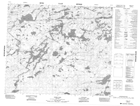
053E14 Dobbs Lake Canada topo map, 1:50,000 scale
053E14 Dobbs Lake NRCAN topographic map.
Includes UTM and GPS geographic coordinates (latitude and longitude). This 50k scale map is suitable for hiking, camping, and exploring, or you could frame it as a wall map.
Printed on-demand using high resolution, on heavy weight and acid free paper, or as an upgrade on a variety of synthetic materials.
Topos available on paper, Waterproof, Poly, or Tyvek. Usually shipping rolled, unless combined with other folded maps in one order.
- Product Number: NRCAN-053E14
- Parent Topo: TOPO-053E
- Map ID also known as: 053E14, 53E14
- Unfolded Size: Approximately 26" high by 36" wide
- Weight (paper map): ca. 55 grams
- Map Type: POD NRCAN Topographic Map
- Map Scale: 1:50,000
- Geographical region: Manitoba, Canada
Neighboring Maps:
All neighboring Canadian topo maps are available for sale online at 1:50,000 scale.
Purchase the smaller scale map covering this area: Topo-053E
Spatial coverage:
Topo map sheet 053E14 Dobbs Lake covers the following places:
- Collins Bay - Pollon Bay - Ray Peninsula - Crow Narrows - Forbes Island - Gauthier Island - Alexander Mitchell Lake - Aneemus Lake - Begg Lake - Bigstone Lake - Desjardins Lake - Dobbs Lake - Fairy Rock Lake - Jack Lake - Kakinokamak Lake - Kamamenetokakak Lake - Kananachwayak Lake - Kanwichiwekamak Lake - Kawaweeaykamak Lake - Kokokoho Lake - Napay Lake - Pakwach Lake - Paweesakopeesink Lake - Prest Lake - Stone Lake - Tullibee Lake - Willow Lake - Akik Rapids - Long Rapids - Manitou Rapids - Miller Rapids - Napay Rapids - Pakeetapeekanik Rapids - Pakwanchi Rapids - Strip Rapids - Walker Rapids - Wasacheewan Rapids - Akik River - Mainland River - Saykapanow River - Stevenson River


