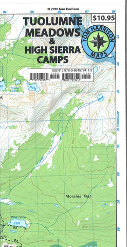
Tuolumne Meadows and High Sierra Camp Loop
This folded topographic map of Tuolumne Meadows and High Sierra camps from Tom Harrison Maps is printed on excellent quality waterproof and tear-resistant material. Areas included on this map are: May Lake, Glen Aulin, Vogelsang, Merced Lake, Sunrise, Elizabeth Lake, Waterwheel Falls, and Tenaya Lake. This map also includes the entire High Sierra Loop Trail and the interception of the John Muir and Pacific Crest Trails. GPS-compatible.
- Product Number: TH_TUOLUMNE_21
- Reference Product Number: - None -
- ISBN: 9780989457965
- Date of Publication: 1/1/2021
- Folded Size: 9.06 inches high by 4.33 inches wide
- Unfolded (flat) Size: 16.54 inches high by 24.8 inches wide
- Map format: Folded
- Map type: Trade Maps - Hiking
- Geographical region: United States
- Geographical subregion: California


