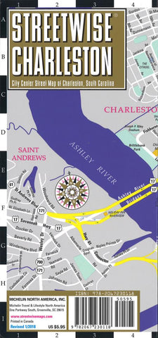
Streetwise Charleston : city center street map of Charleston, South Carolina
This map covers the following areas:
Main Charleston, South Carolina Map 1:19,000
Historic Charleston Map 1:9,500
Charleston Regional Map 1;780,000
Charleston Area Map 1:220,000
North Charleston Map 1:39,000
The STREETWISE® map of Charleston, SC will enable you to experience the rich history and culture of this quintessential Southern city. The detailed Historic Charleston inset map identifies all the important historic homes and buildings which you will want to see during your walking tour.
The main city center map of Charleston helps you navigate into and out of the city center. It also expands on the number of sites featured including hotels, shopping, educational institutions and neighborhoods.
The Charleston maps backside features two additional maps: the Charleston Regional Map covers the geography between Savannah, Georgia and Charleston, South Carolina. The Charleston Area Map helps to navigate around the perimeter of the city to such notabl
- Product Number: SW_CHAR_SC_22
- Reference Product Number: - None -
- ISBN: 9782067230118
- Date of Publication: 6/1/2022
- Folded Size: 9 inches high by 4 inches wide
- Unfolded (flat) Size: 24 inches high by 9 inches wide
- Map format: Folded
- Map type: Trade Maps - City Maps
- Geographical region: United States
- Geographical subregion: South Carolina


