
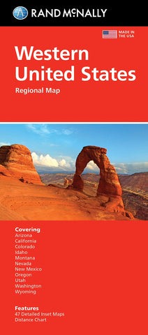
United States, Western Regional
Regularly updated, full-color maps
Clearly labeled Interstate, U.S., state, and county highways
Detail maps of major cities, a mileage chart, and a Mileages & Driving Times Map
Indications of parks, points of interest, airports, county boundaries, and more
Easy-to-use legend
Detailed index
Convenient folded size
States covered: Arizona, California, Colorado, Idaho, Montana, Nevada, New Mexico, Oregon, Utah, Washington, Wyoming
- Product Number: RM_EASY_USA_W_21
- Reference Product Number: - None -
- ISBN: 9780528025174
- Date of Publication: 1/1/2021
- Folded Size: 9.45 inches high by 4.33 inches wide
- Unfolded (flat) Size: 27.95 inches high by 40.16 inches wide
- Map format: Folded
- Map type: Trade Maps - Road
- Geographical region: United States
- Geographical subregion: Arizona,California,Colorado,Idaho,Montana,Nevada,New Mexico,Oregon,Utah,Washington,Wyoming


