
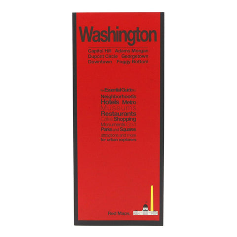
Washington, DC City Map
Washington DC on a tourist street plan from Red Maps presented in a handy concertina format and printed on thick high quality paper, with thematic indexes for hotels, restaurants, shopping, museums, theatres, etc.
The plan provides coverage of the central districts of the city extending from the Arlington Cemetery and the Georgetown University Campus in the west to Capitol Hill. On the reverse an enlargement shows the Downtown/Penn Quarter in greater detail. Also provided is a small road map of the city’s environs.
The plan names tourist sights, important government buildings, entertainment venues, selected hotels and restaurants, etc. Also highlighted are main shopping streets. Washington’s metro stations and connections are very clearly indicated.
The plan is accompanied by several lists and recommendations: hotels, restaurants and shops arranged by district, government buildings, landmarks and monuments, etc. The index lists only a selection of neighborhoods
- Product Number: RED_WASH_23
- Reference Product Number: - None -
- ISBN: 9781892238788
- Date of Publication: 6/1/2023
- Folded Size: 9.45 inches high by 3.94 inches wide
- Unfolded (flat) Size: 23.82 inches high by 9.45 inches wide
- Map format: Folded
- Map type: Trade Maps - City Maps
- Geographical region: United States
- Geographical subregion: District of Columbia


