
1995 Above the Rockies Map
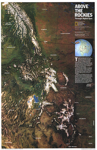
NOAA satellite imaging formed the basis of this fascinating map of the Rocky Mountain region which was then computer-enhanced by WorldSat International of Canada. Published in July 1995, this map accompanied the Heart of the Rockies tourist map.
- Product Number: PODHNG_US_ROCK_A_95
- Reference Product Number: 2321262M
- ISBN: - None -
- Date of Publication: 6/1/1995
- Unfolded (flat) Size: 31.25 inches high by 20.25 inches wide
- Map format: Wall
- Map type: Trade Maps - Wall Art
- Geographical region: United States


