
1973 Close-up USA, Wisconsin, Michigan, and the Great Lakes Map, Land Between the Waters Theme
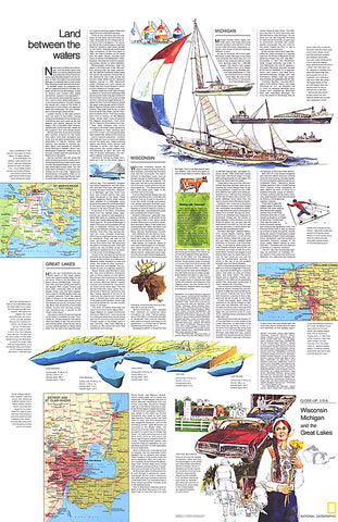
Part of the Close-up: U.S.A. series, the Wisconsin, Michigan, and the Great Lakes: Land Between the Waters travel map is half of a two-map set, accompanied by the Wisconsin, Michigan, and the Great Lakes map. Published in August 1973, it contains inset maps of the Welland Canal and selected rivers as well as travel information and tips for motorists.
- Product Number: PODHNG_US_GR_LAK_73_T
- Reference Product Number: 2321687M
- ISBN: - None -
- Date of Publication: 6/1/1973
- Unfolded (flat) Size: 35 inches high by 22.75 inches wide
- Map format: Wall
- Map type: Trade Maps - Wall Art
- Geographical region: United States


