
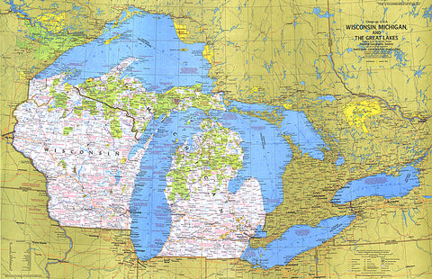
1973 Close-up USA, Wisconsin, Michigan, and the Great Lakes Map
This map of the United States side of the western Great Lakes highlights the states of Wisconsin and Michigan. It details the vacation areas and sites throughout this beautiful region. Published in August 1973 as part of the Close-up: U.S.A. series, with the travel poster Wisconsin, Michigan, and the Great Lakes: Land Between the Waters.
- Product Number: PODHNG_US_GR_LAK_73
- Reference Product Number: 2321686M
- ISBN: - None -
- Date of Publication: 6/1/1973
- Unfolded (flat) Size: 22.5 inches high by 35 inches wide
- Map format: Wall
- Map type: Trade Maps - Wall Art
- Geographical region: United States


