
1904 Alaska Map
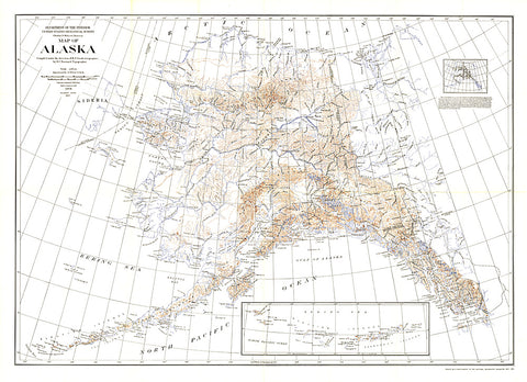
This historic map of Alaska shows the region after the boundary was agreed to with Canada. Published in National Geographic Magazine in 1904 with the article The Geography of Alaska, this map includes an inset showing areas mapped by the U.S. Geological Survey. A wonderful companion to the Alaska Boundary Tribunal map printed the same year.
- Product Number: PODHNG_US_AK_04
- Reference Product Number: 2321665M
- ISBN: - None -
- Date of Publication: 6/1/1904
- Unfolded (flat) Size: 35.75 inches high by 49.5 inches wide
- Map format: Wall
- Map type: Trade Maps - Political
- Geographical region: United States
- Geographical subregion: Alaska


