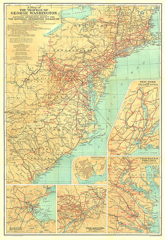
1932 Travels of George Washington Map
The map of the Travels of George Washington was published in January 1932 in cooperation with the United States Commission for the Celebration of the Two Hundredth Anniversary of the Birth of George Washington. Inset maps of major colonial cities including Boston, New York, and Philadelphia as well as Washingtons Mount Vernon home and the Tidewater Virginia area add great detail to this unique historic map.
- Product Number: PODHNG_GW_TRAV_32
- Reference Product Number: 2321672M
- ISBN: - None -
- Date of Publication: 6/1/1932
- Unfolded (flat) Size: 29 inches high by 20 inches wide
- Map format: Wall
- Map type: Trade Maps - Historical
- Geographical region: United States


