
1994 Making of Canada, Prairie Provinces Map
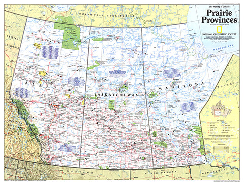
A land of sweeping prairies and abundant wildlife, Alberta, Saskatchewan and Manitoba make up Canada's agricultural heartland and Prairie Provinces. Published in December 1994 as part of the Making of Canada series, this map accompanied the article Canada's Highway of Steel.
- Product Number: PODHNG_CAN_PRA_94
- Reference Product Number: 2321254M
- ISBN: - None -
- Date of Publication: 6/1/1994
- Unfolded (flat) Size: 20.5 inches high by 27 inches wide
- Map format: Wall
- Map type: Trade Maps - Historical
- Geographical region: United States


