
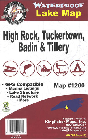
High Rock/Tuckertown/Badin/Tillery
Waterproof lake map of High Rock/Tuckertown/Badin/Tillery, NC showing access areas, facilities, water hazards, and water depths at 10-foot contour intervals (High Rock & Tuckertown) / 50-foot contour intervals (Badin). Tillery has no contour lines.
- Product Number: KGF_HIGHROCK_NC_
- Reference Product Number: 2297104M
- ISBN: - None -
- Folded Size: 9.45 inches high by 6.3 inches wide
- Unfolded (flat) Size: 25.2 inches high by 38.19 inches wide
- Map format: Folded
- Map type: Trade Maps - Fishing
- Geographical region: United States
- Geographical subregion: North Carolina


